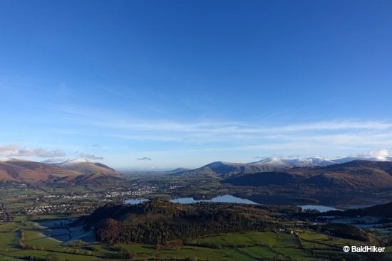
This 4 mile walk in the Washburn Valley Yorkshire is a little hidden gem. From Swinsty Reservoir to John O’ Gaunts Reservoir and John O’ Gaunts Castle.
Most people to the area take the walks around the bigger reservoirs in the valley but this walk takes you away from the big reservoirs of Swinsty and Fewston and takes you on a route that is packed with interesting sights and history.
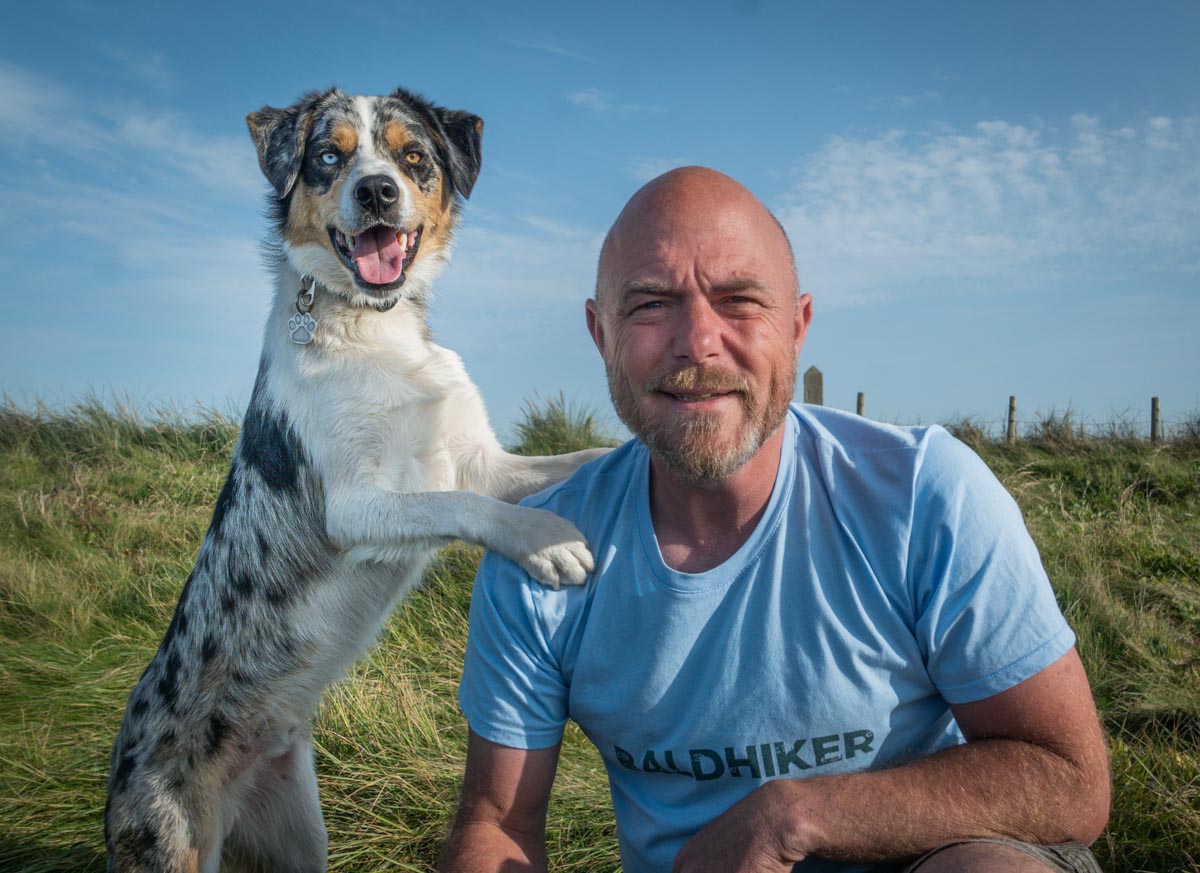
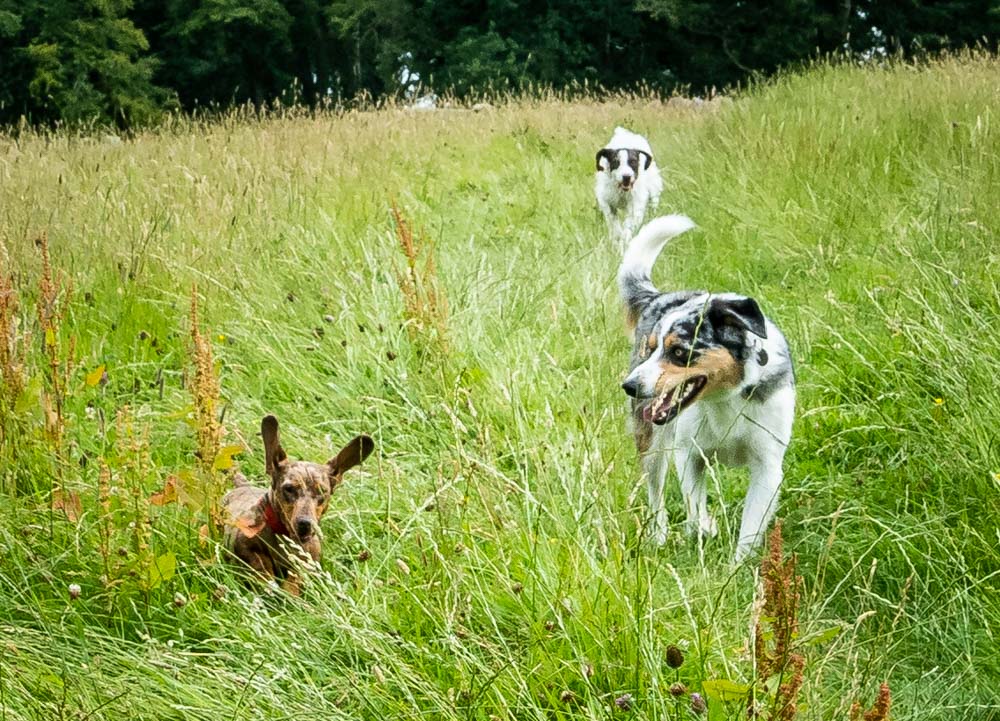
And is very dog friendly….
Parking and Start Point
There is a big and free car park on the edge of Swinsty Reservoir that is perfect as a start point. Stack Point Car Park. The route details at the bottom of this post has all the details and the GPX of the walking route I took.
Setting Off
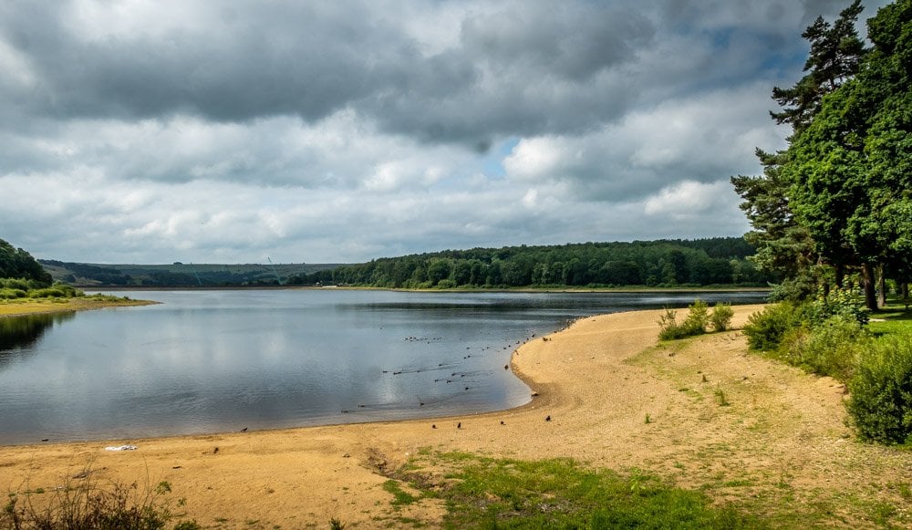
A perfect place to start the walk is by the shores of Swinsty Reservoir. Head out of Stack Point Car Park and turn right along the lane and along the causeway.
Through The Woods
Straight after the road causeway and across the road you will see a path that leads on into the woods.
Here you will find that you have left the busy paths and into a quiet pathway that takes you gradually upwards.
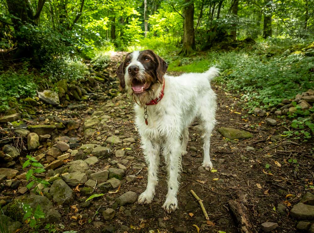
I forgot to mention so far that this is a great dog friendly walk. You may have the odd field with livestock but it is no trouble to put the dogs on a lead for these short sections.
From the woods you carry on up a short way through fields and pastures and then cross the B6451 and cross the road to the Sun Inn. We meet this point on the way back so a perfect place to have a drink or refreshments near the end.
Bank Slack
For the walk you need to go past the pub on its right hand side between the beer gardens as such and along the track.
Take the left path at the fork and through the kissing gate, through the field of rushes and through the next kissing gate. You will then be on Bank Slack where the walk is beautifully set now with fields and trees.
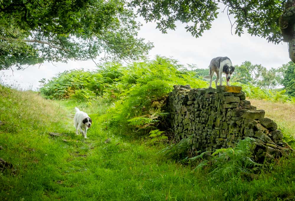
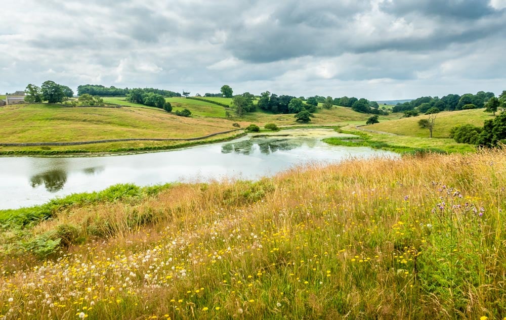
The path from here winds down into a dip then up again to a great view of John O Gaunts Reservoir and beyond.
John O Gaunt Reservoir

You get to see what is commonly known as John O Gaunts Reservoir from above and below it. Away from roads and amongst fields and nature it is an idyllic spot.
The name comes from the nearby John O Gaunts Castle that we shall pass and explain very shortly. This reservoir and its neighboring one was built in 1890 to suplly water for Harrogate and surroundings.
Beaver Dyke Reservoir
As you get to the end of John O Gaunts reservoir you need to turn right and along the embankment. If you look left you will see a sign saying Beaver Dyke Reservoir, but no water in sight.
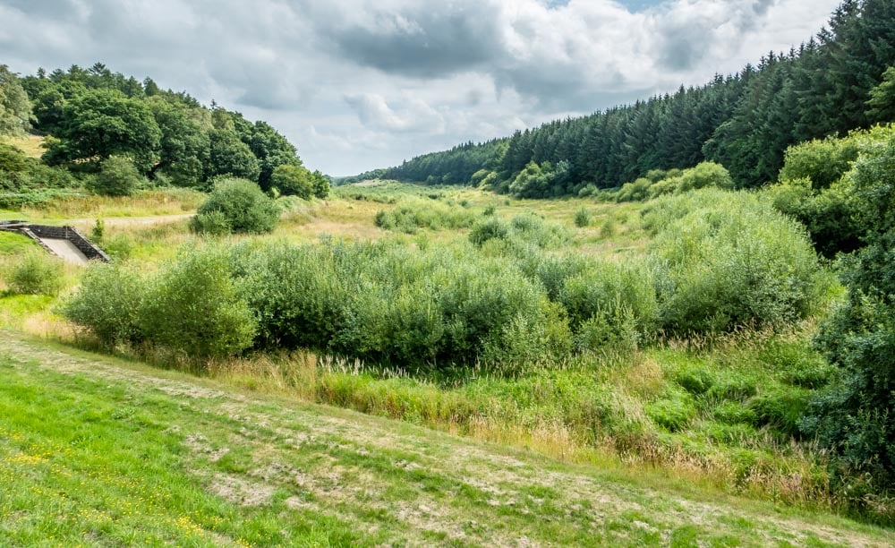
This is now a completely unused dried out reservoir. It was decommissioned in 2013 and you can see how nature has really started to take back over with odd bits of concrete in between the green. The forest that used to line the water’s edge can clearly be seen too.
John O Gaunts Castle
Leaving the reservoirs after passing between them you take the path right and up the gentle slope toward some farm buildings.
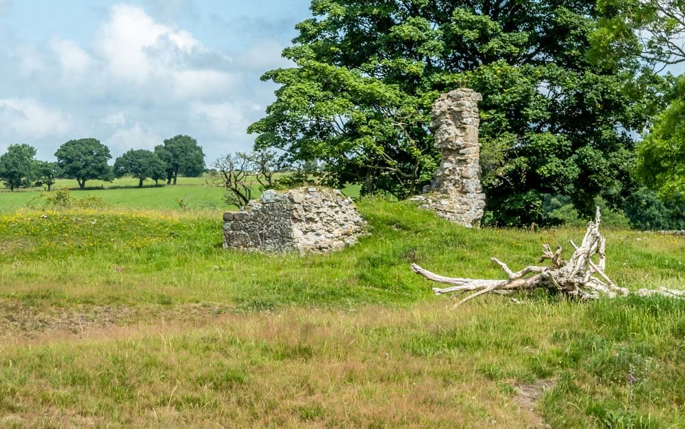
Nestled behind these buildings you will see the ruins called John O Gaunts Castle.
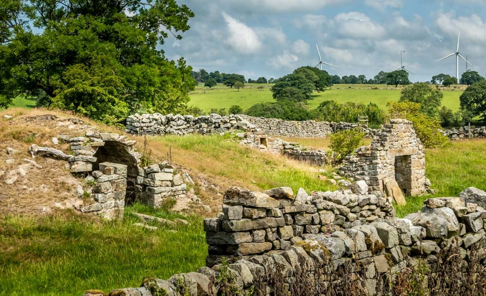
Although a historic building it is a castle in name but was never in purpose.
In the 14th Century it was believed to have been the royal hunting lodge of the the Duke of Lancaster, John O Gaunt. The son of Edward III and grandson of Edward II, John was the Lord of the Manor of nearby Knaresborough of which this would have been part of the Lordship area.
Edward II had already started to build here when he gave the land to John. There are signs of the ditch moat as well as the crossing, central tower and foundations.
Return
From the castle ruins take the path through a gate and the slope down to the right.
You will see ahead where you rejoin the path you came on.
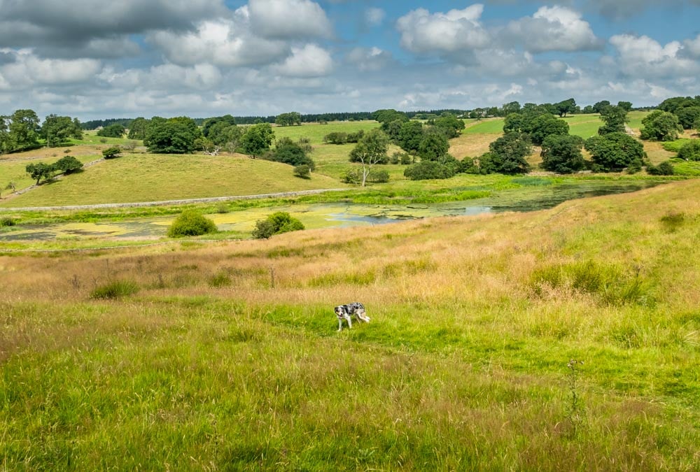
On the way back to Swinsty, don’t forget to pop in the Sun Inn for refreshments or most of the time there is an ice cream van back at the car park too.
Route Details
Distance: 4 miles
Time: 1 – 2 hours
Parking: Free at Stack Point Car Park, Swinsty Reservoir.
Parking Postcode: HG3 1SU

