So today I decided I was going to bag another 2 Wainwrights, it’s becoming a bit addictive this Wainwright bagging!! I’d always wanted to get Sheffield Pike added to the list as I’ve seen so many amazing photos of the views from the top and so as today was my first official day of annual leave I thought what better way to start it than with a hike up a fell in 23+ degrees heat (maybe not the best idea but still I went with it!)
I often feel I lack the initial motivation to get me out on to the fells but once I’m out there I don’t want it to end so I set myself the challenge of including two more fells into my walk today as I figured I had the time to fit them in and make a real afternoon of it. After all the weather being so nice isn’t always a given in these parts, even at this time of year.
I am so chuffed with my achievement, there were a few times when I was considering throwing in the towel and just heading back to the lake shore instead because the heat was stifling, but then my stubborn streak kicked in and I just wanted to get to the top, so off I went.
Starting out at Glencoyne Bay car park (this is a National Trust car park, so be prepared to purchase a ticket before heading out on your walk) you then head south west from the car park along the path, which takes you towards Glenridding. It’s a great little path, made for the purpose of the infamous Ullswater Way and takes you along the shore line before you then take the footpath sign posted for Seldom seen (which is found to your right-you will have already crossed over the main road but will need to cross back again) here the rough track takes you up towards Seldom seen and runs alongside Glencoyne wood and passes the footpath for Mossdale.
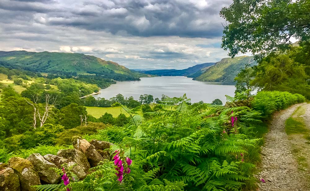
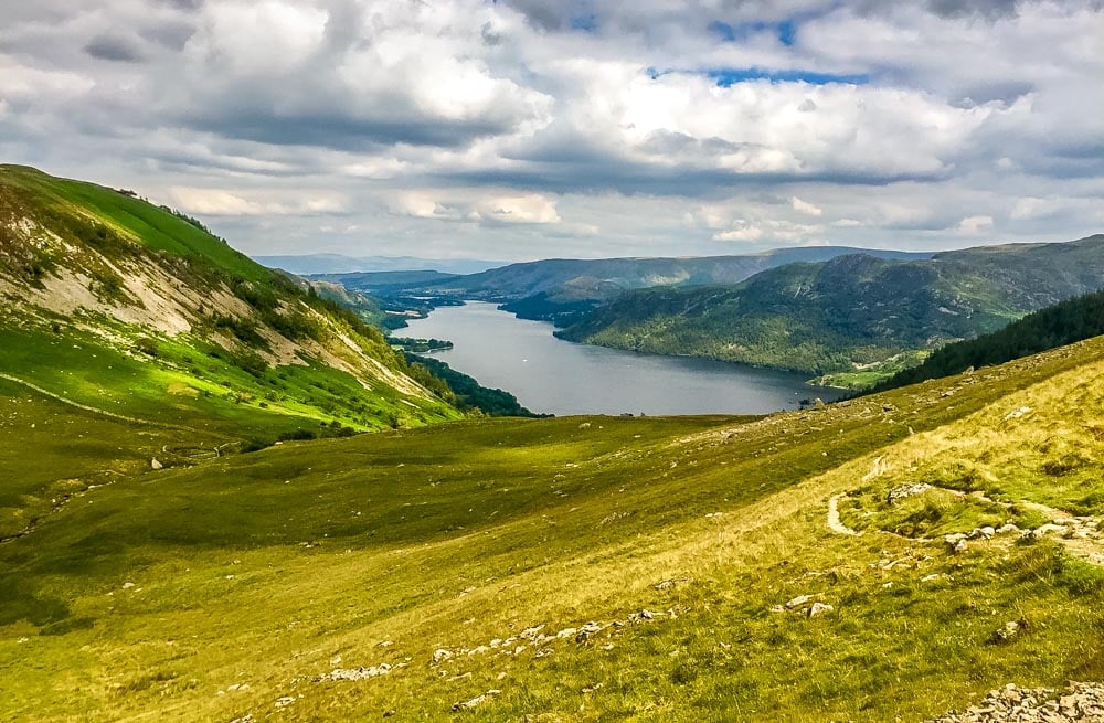
It’s a lovely sheltered part of the walk, walking through the ferns and fox gloves, which are in abundance at this time of year. You will come across the old mining cottages straight ahead of you, which is where the path then turns off up to the left and carries on until you reach the join of two dry stone walls. Here you can get some amazing lower level views of Ullswater. The views enable you to look over towards Gowbarrow and Aira Force with Glencoyne fell on the other side of the valley. Carry on up this path (Bleabank Side) and the land really starts to open out right before you. From here if you look up and round to your left you can see the top of Sheffield pike with its craggy summit and Black Crag before it. The path continues round the backside of Sheffield pike for what I felt was an eternity but it gets better after you’ve trudged up the path, trust me.
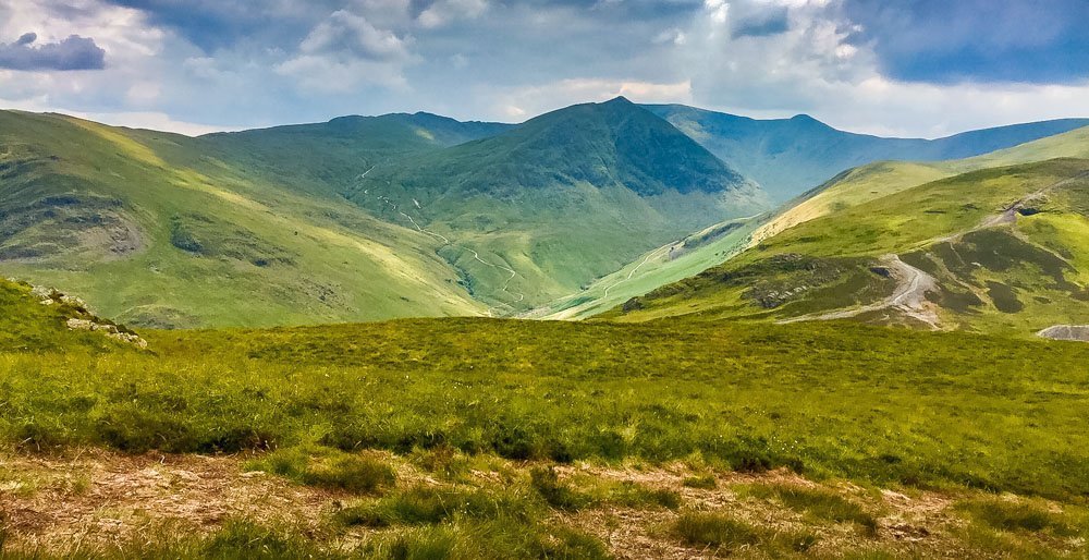
You will see Catseye cam and Helvellyn come into view now as well as Stang, Whiteside and Glencoyne Head, which runs almost adjacent to our path across the valley. The path then forks, bear to your left and you will then see the path leading you up to the top of Sheffield Pike. Behind you are incredible views towards Helvellyn, where you can see Striding Edge and Swirrel Edge in all their glory as well as the disused water leat.
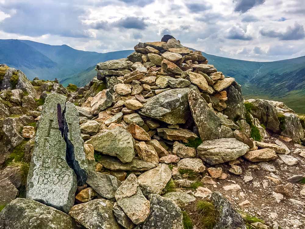
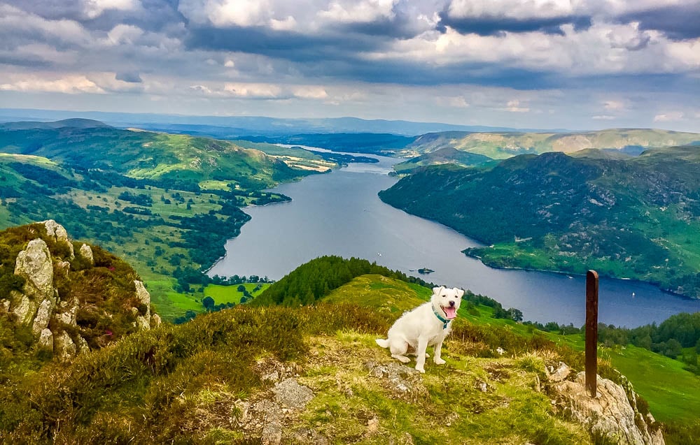
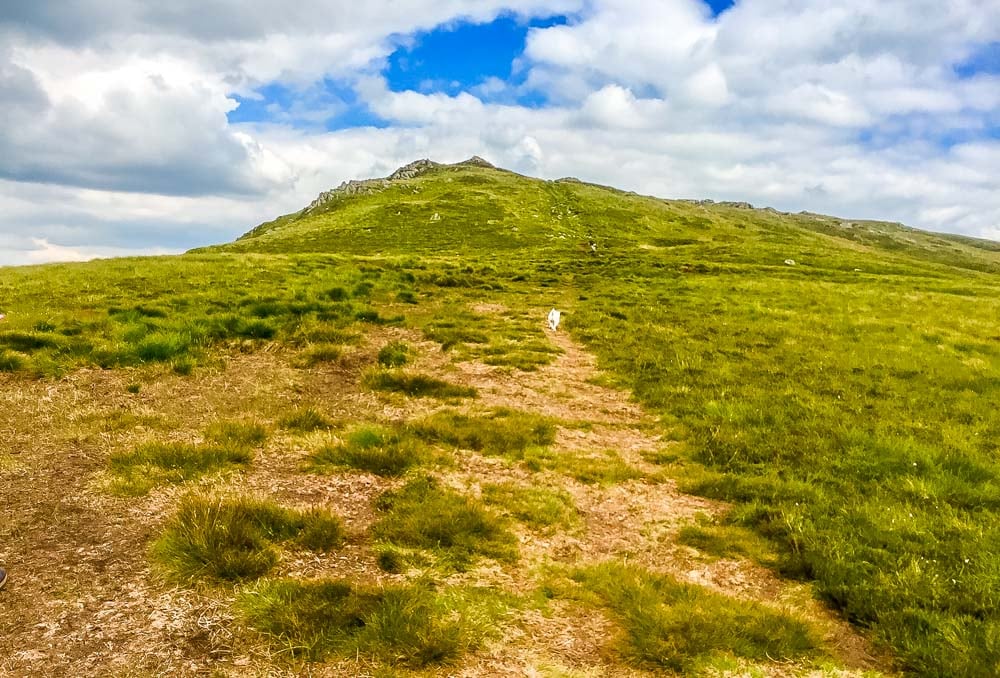
Thankfully for us the usual peat bogs to the Summit of Sheffield Pike had dried up considerably so we were able to cross with ease and a wee spring in our step as the bogs become quite spongy in the summer months. There is an abundance of beautiful hardy purple heather once you near the summit and the views north east of Ullswater and the Pennines really come into view if you’re blessed with a clear day. Once at the cairn marker you will notice there is a tall oblong shaped stone, with some letters and a date on. This is an original marker stone dating back to 1830, which was used to help determine land boundaries. H apparently stood for the Howard family of Greystoke (Castle) while M stood for the Marshall family of Patterdale.
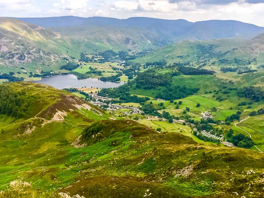
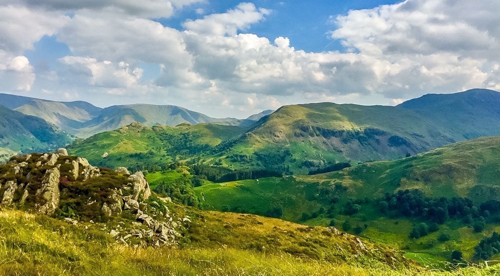
From the top of Sheffield Pike, you can look across the southern end of Ullswater towards Place Fell and Stony Rigg and Angletarn Pikes as well as better views of Helvellyn (lower man, Striding Edge and Swirrel Edge) Birkhouse Moor, St Sunday’s Crag (if you know where to look) Nethermost Pike and other fells which make up the Glenridding and Patterdale Valleys.
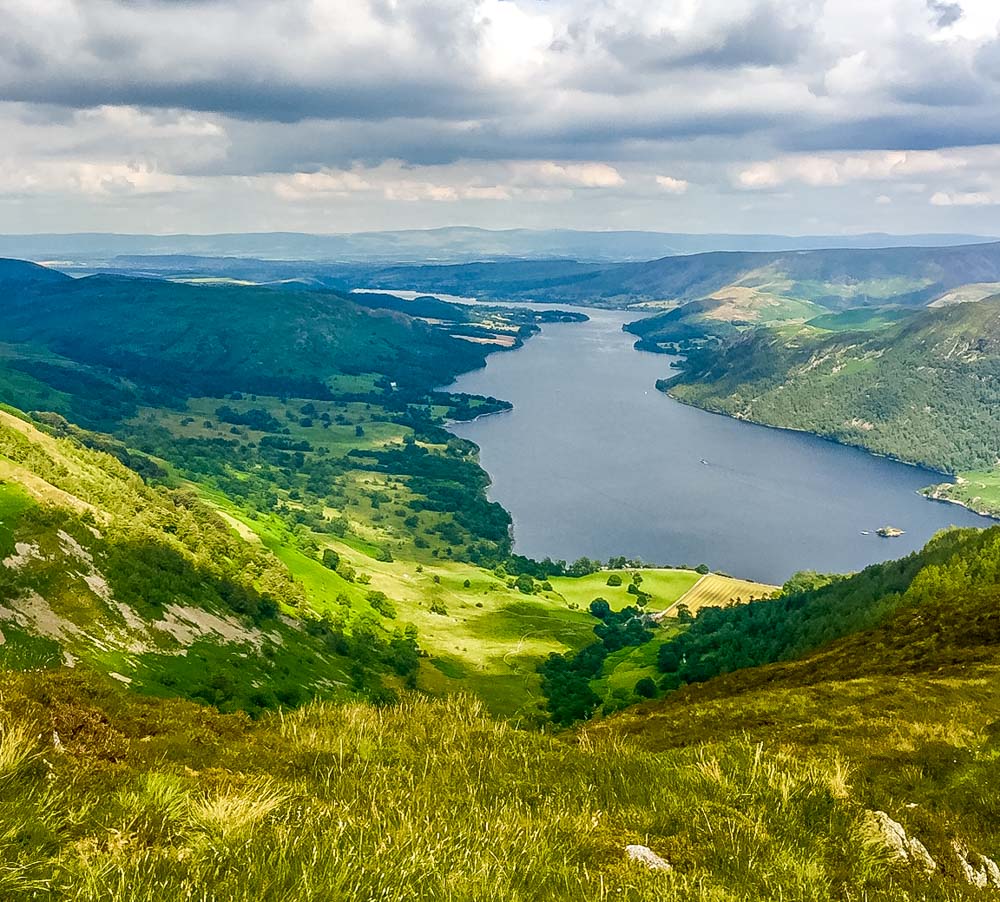
From Sheffield Pike, we decided to carry on towards Glenridding village and include Heron Pike (not Heron pike, which makes up part of the Fairfield Horseshoe) this Heron Pike is not a Wainwright, however it is recognised as one of the 541 Birkett peaks, which are dotted all over England and named after Bill Birkett. Heron Pike is a good 50m lower than Sheffield Pike, though the path down to it looks more like a Sheep trail than a proper path, which you’ve climbed up to get to Sheffield Pike. Before you reach the marker on top of Heron Pike you’ll pass a couple of deep and dark looking peat pools, while the outcrop of Glenridding Dodd really comes into view from here. The flora and fauna really is something else, deep vibrant purples mixed with the sunshine yellow of other mountain flowers, it really is a lovely part of the valley to visit. From Heron Pike you will begin the steep and rocky decent down towards Glenridding Dodd, another of Wainwright’s 214 walks.
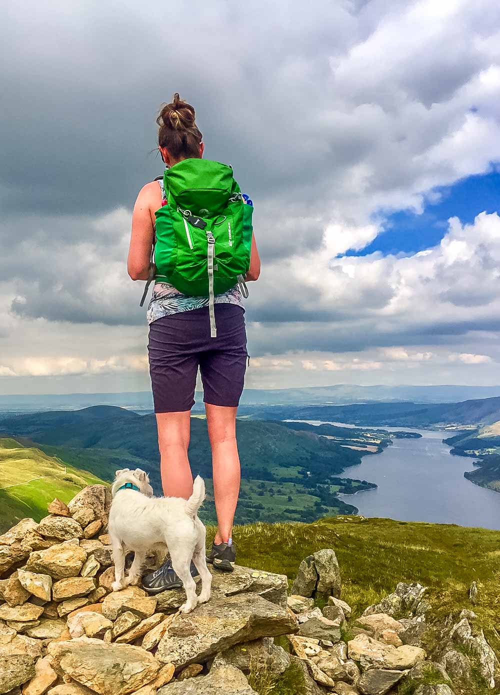 It looks really quite insignificant compared to where you’ve just been but it’s still a great achievement to get to the scattering of cairns on the top, if only to get some more great views and bag another Wainwright!! The Path between Heron Pike and Glenridding Dodd doesn’t seem to show on either OS maps or walking Apps on smart phones, however you can make it out from your positioning on Heron Pike.
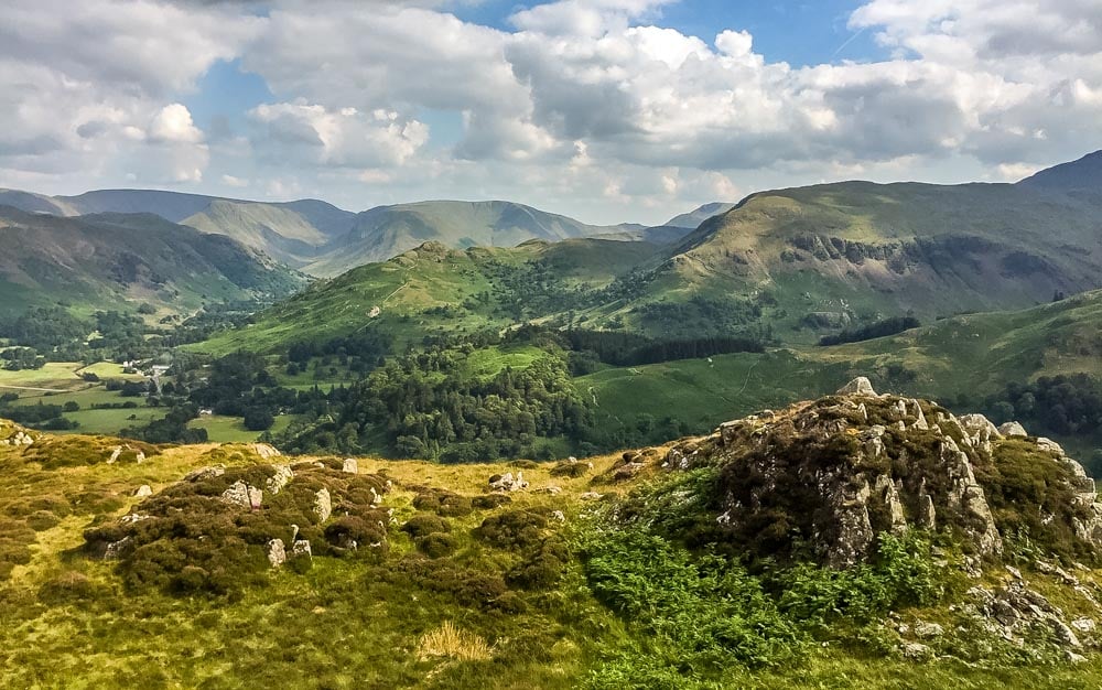
There may be some as I like to call it “bum shuffling” to be done in places as the drops are a little too high for a normal step down, however only you can be the judge of that one. You will come to a parting in a dry stone wall, where the path down to the western side of Glenridding Dodd is clearly visible. Head towards the western side of the fell and you will see the path go off up to your right and away from the dry stone wall. Here I left my rucksack as I was sure it was only a 5-minute walk to the cairns from here, plus I was looking for any excuse possible to try and dry myself out after such a sweaty and humid walk!! It really is a perfect end to your 3 peaks walk as it is much easier and fairer on your legs and lungs. From the cairns you still get some great views of the neighbouring fells, Ullswater and a look back on where you’ve been.
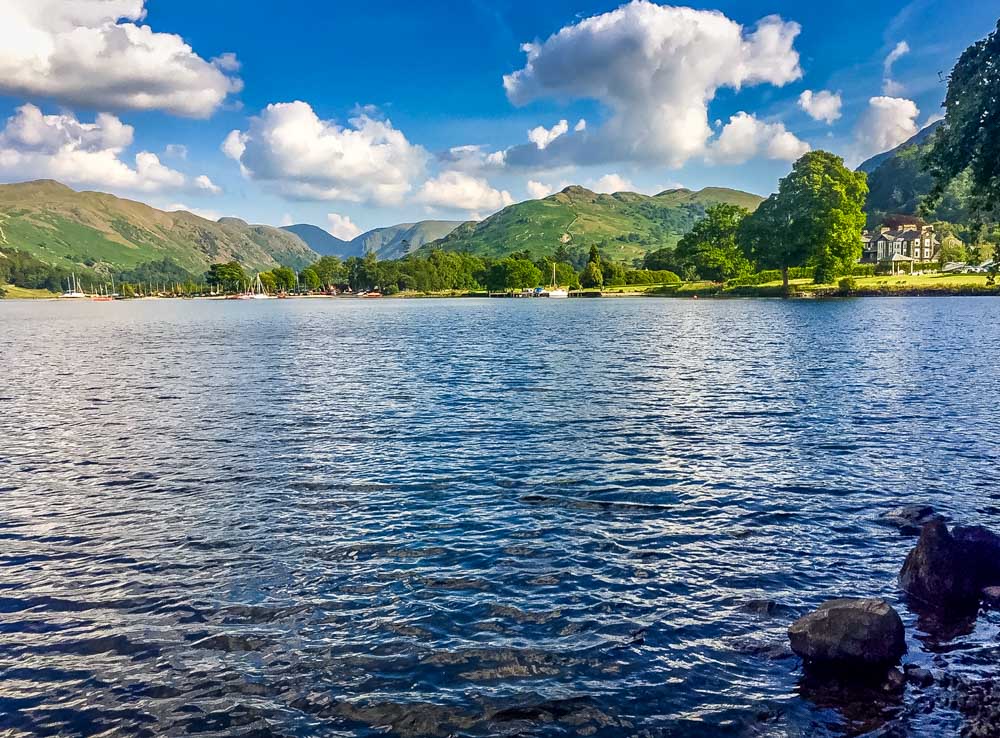
From Glenridding Dodd summit you make your way back the way you came and then take the path which leads off in a southerly direction, towards Glenridding and Patterdale. This path is known as the Rake and it is a little tricky to say the least, so my advice would be for anyone to take their time. The path isn’t particularly steep but the loose gravel stone and dust make it unstable underfoot as I found out. Apparently I went down and the dust came up!! The path meanders through the fern banks alongside Blaes Crag before descending you down onto Greenside Road at the eastern end of the row of Rakeside Cottages. (another set of old miner’s cottages) From here you can amble your way down into Glenridding itself, even call in at the Traveller’s Rest for a pit stop or carry on further where you’ll soon find yourself back in the realms of civilisation.
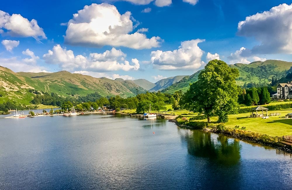
We chose to have our pit stop at the aptly named Ramblers Bar, which is connected to the famous Inn on the Lake hotel. After a rest, a well needed refreshment and an extreme hand wash for me, as I was caked in dust after my “slip and slide” experience, we set off back to the car at Glencoyne Bay. The route takes you along the Ullswater way path again, which runs along the shore of the lake.
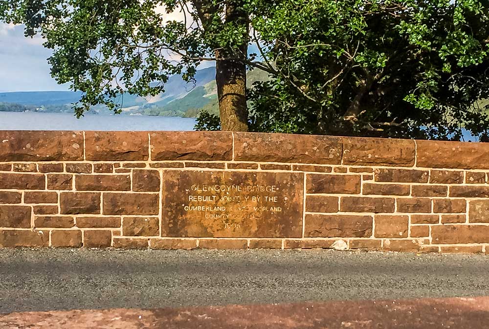
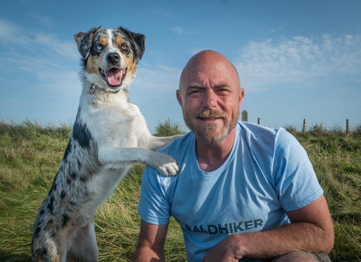
The dog was extremely grateful for this and made a beeline for the water and a well-deserved cool down. You will then find yourself passing by the rough track for Seldom seen and back where you originally started from. A great walk to be had, approximately 8 miles in total and with some breath taking moments to be had along the way.

