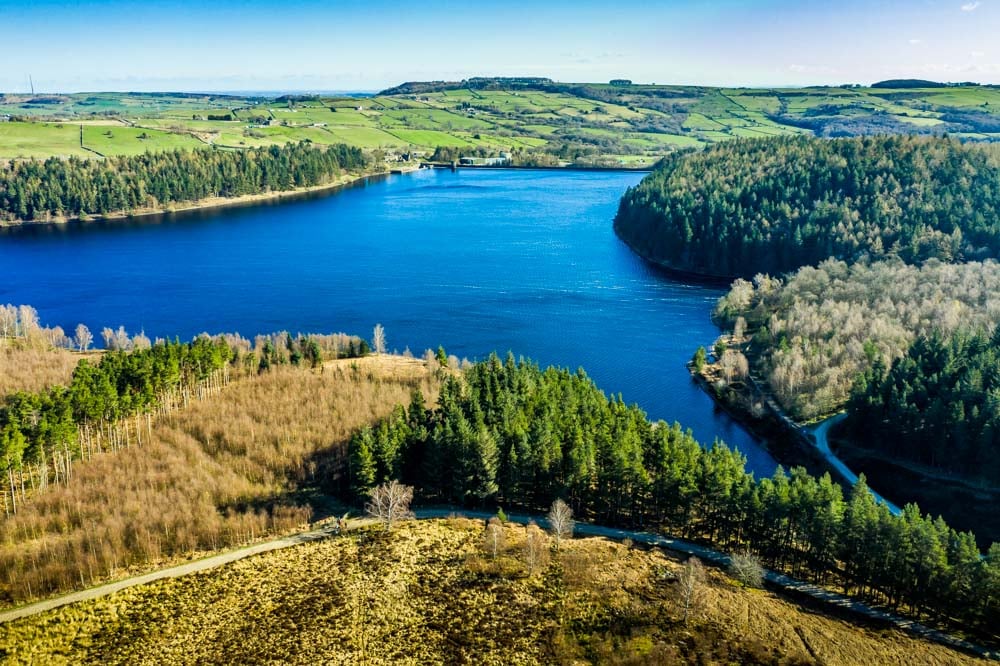
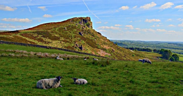
The walk around Langsett Reservoir, South Yorkshire, is a great walk for all standards. It has the variety in a walk that many seek, from woodland to open moors. And the views up onto the higher moors are fantastic. There is a chance to explore quirky history too, for example walking through the ruins of North America.
At just a 3.5 miles long walk it suits many a type of walker or family on a day out. It is great as a dog walk or to take the children on a few miles in the fresh air.
Where Is Langsett Reservoir
Langsett Reservoir is in Yorkshire, on the northeast edge of the Peak District. Many people think of Derbyshire as synonymous with the Peak District but south and west Yorkshire owns some gorgeous parts of it.
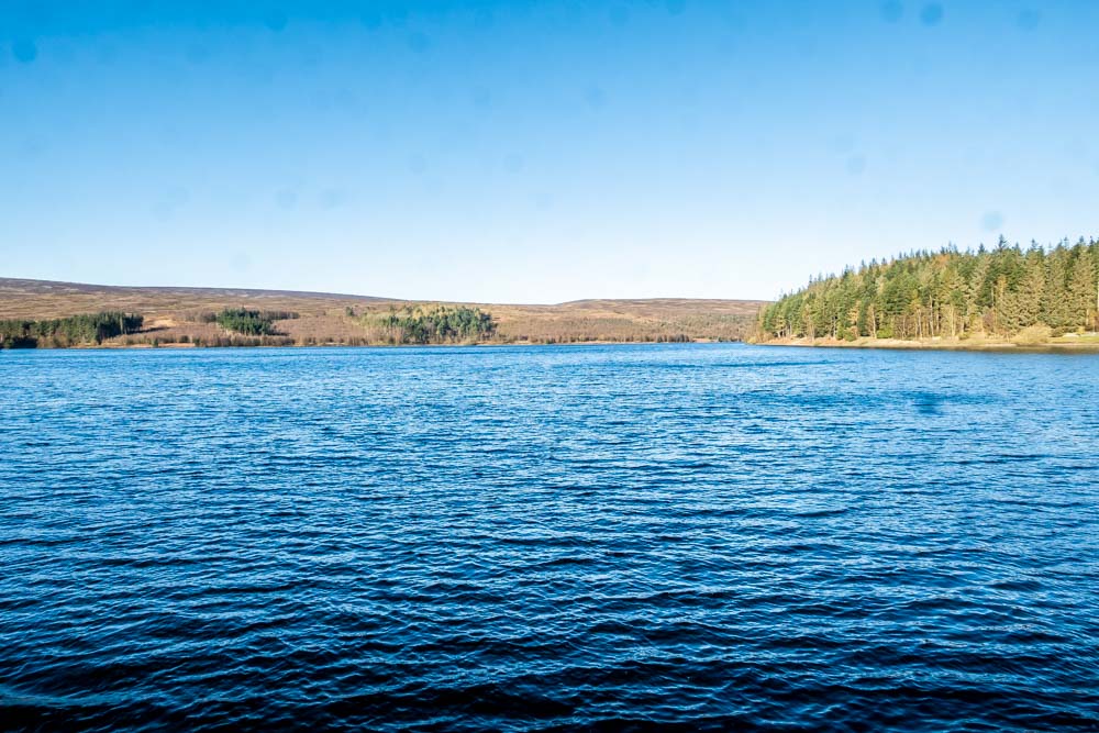
The reservoir can be found half an hour northwest of Sheffield on the A616 and is 10 miles south of Penistone.
Car Parking
The main car park is called Langsett Barn Car Park and is found on the A616 at Langsett. The postcode is S36 4GY.
Be warned that this is a popular area and gets full quickly. There is a second car park a short distance away and across the main road called Langsett Flouch Car Park.
Starting The Walk
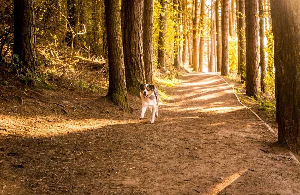
Heading out of the back of the car park you enter the woods. It is great to have a walk that starts nice straight away. Then make your way downhill on the path to the reservoir side path.
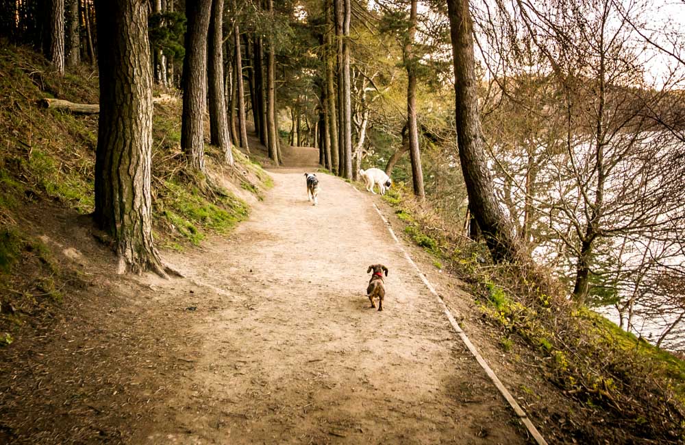
Of course you can go either way round, but I go clockwise and turn left.
When you come to the eastern end of the reservoir there is a gate that get you onto the embankment and road (Midhope Cliff Lane). Turn right along the embankment.
Langsett Reservoir Embankment
As you walk along the embankment, being careful of cars, you get superb views across the water.
At 352 metres (1156 feet) along it is known as the longest single carriageway embankment on any reservoir in Britain.
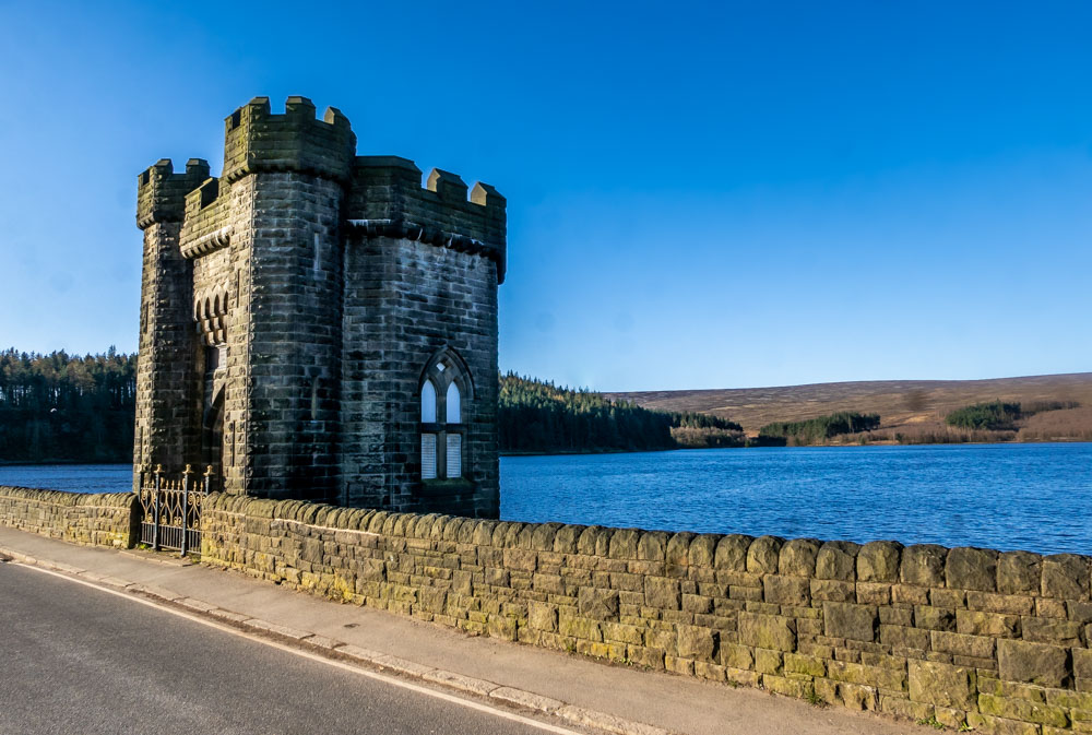
At the end of the embankment carry on up the lane a short while before turning off and back onto the tracks around the reservoir.
Undulating Paths And Moor Options
You are now on the far side of the reservoir from the road and car park. A more peaceful and gorgeous mix of farmland, moor and forest.
The path is well maintained and undulating. I read somewhere that the path around was accessible to prams and wheelchairs but no, this side of the reservoir sadly is not.
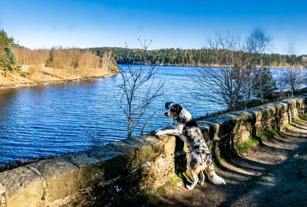
If you are wanting a longer walk, about half way around there are options to walk high onto the moors.
Paths leading off to the left can take you on walks that are a few miles longer and great for a day’s leg stretch.
From here you can climb up Mickleden Edge which leads to Margery Hill and the Derwent Valley below the other side.
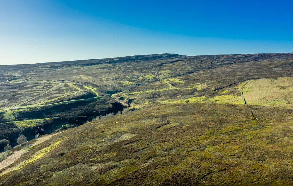
Be warned though. There are many signs up that way stating that they don’t want dogs higher on the moors. They don’t want the grouse–that they charge people to kill for sport, mind you–to be disturbed.
Regardless of their website saying they allow dogs on certain paths, when you get there, they seem to have signs to cause doubt every way you look. I will do my moorland walks elsewhere thanks.

Down here, on the Langsett circular path by Yorkshire Water you are fine. Keep dogs under control and all will be well.
North America
Ok, I hear you say, you are in South Yorkshire, why are you talking about North America? Well, as you get to the south west of Langsett Reservoir you come to some old farm ruins.
The farm that stood here was actually called North America for some reason. The reservoir was completed in 1904 and pretty soon they were worried about water contamination from the local farms. So the last farmer left North America in 1907.
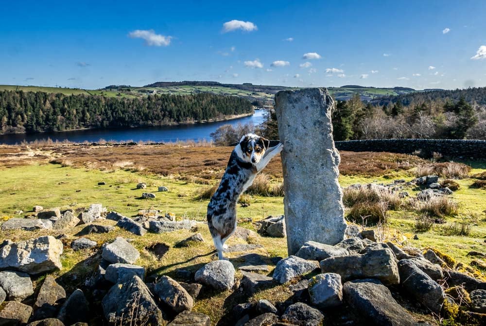
If it had not started to fall to ruin over the years it certainly did so during the Second World War. The farm was used as target practice for tanks and troops.
Heading Back
This area from North America and beyond is lovely for open vistas of the reservoir. A contrast to the woods and forests that makes the walk anything but one dimensional.
As you head right back to the road side of the reservoir there is one little steep downhill and uphill with a footbridge over a small river at the bottom.
This is the Little Don River also known as The Porter. This is a popular spot in the summer for children to play and paddle. A good spot for a picnic or packed lunch too, down out of the breeze.
Once up out of the valley, turn at the first right and you are back in the woods, heading back to where you started and the car park.
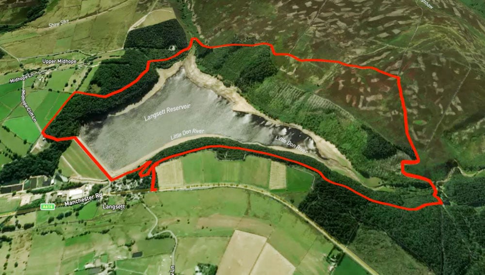
Walk Route Details and GPX
Distance: 3 miles
Time: 1 hour 45 minutes
Download the GPX – Langsett Reservoir Circular Walk




Love a walk round Langsett
gorgeous walk isn’t it? thanks