Cabrillo National Monument is located in California, at the south end of a peninsula that wraps around the San Diego Bay’s entrance.
From this stunning location on Point Loma, sweeping views of the Pacific Ocean, the city of San Diego, Coronado Island, and the South Coronado Islands off the coast of Mexico entice visitors to fall in love with this special place, just outside a major metropolitan area.
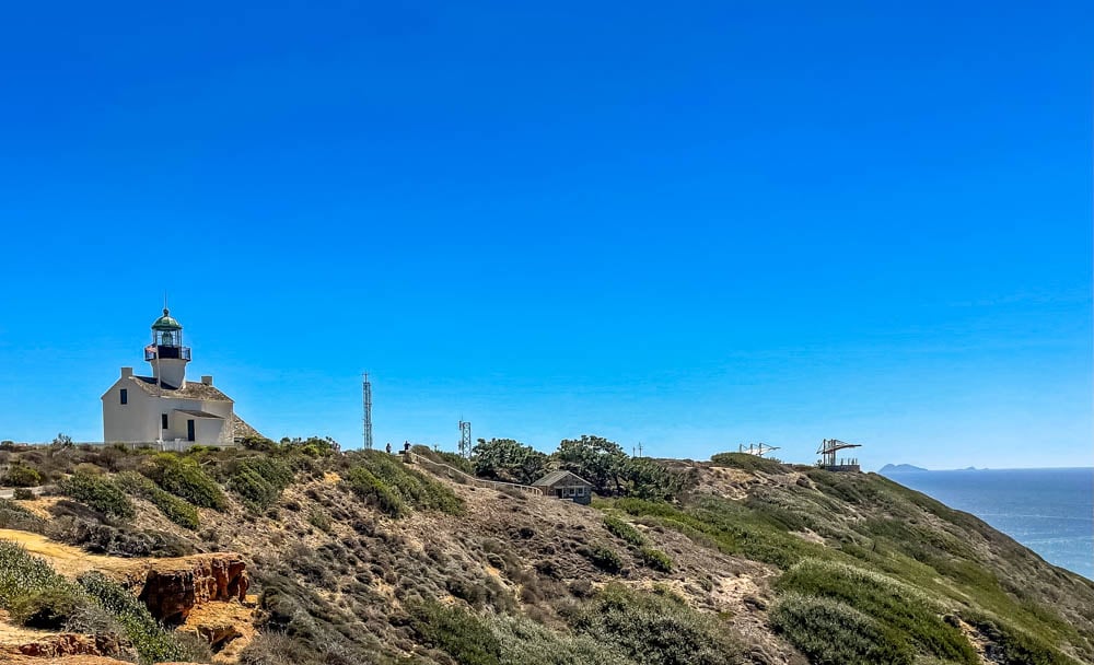
The Point Loma Lighthouse, in service from 1855-1891, is now used to show visitors how the lightkeepers lived on what was then an isolated peninsula. The lightkeeper’s garden is still tended by volunteers.
Getting to Cabrillo National Monument
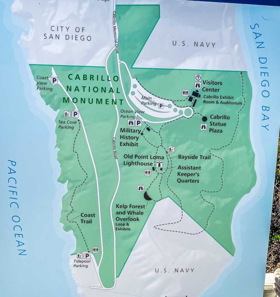
The monument is at the end of Point Loma, 422 feet above sea level. I often use the monument as a landmark when I am out and about in San Diego, as it is visible from miles away in every direction.
Heading up to the peninsula, the Monument is accessible whether traveling in a motor vehicle, on a bike, or via the city bus service. Finding the best bus route up to the monument is easy with moovit and it will show you not only the best route, but every stop along the way.
For those driving or biking, take Catalina Blvd south to the entrance to Naval Base Fort Rosecrans where the road name changes to Cabrillo Memorial Drive.
As with all national monuments in the United States, pets are not allowed, so be sure to leave furry friends at home.
Passing Through Rosecrans Cemetery

Once through the Navy gates, the road follows the ridgeline, through the Naval base and Fort Rosecrans National Cemetery.
A small post cemetery was expanded into a national cemetery for armed forces veterans on October 5, 1934. Ever since then, the hillsides, sometimes windswept and other times covered in heavy fog, provide a resting place for veterans.
This peaceful location provides family members with a respite.
When I drive through on my way to the Monument, I frequently stop to reflect and to take in the quiet of this peaceful overlook.
Visitor’s Center
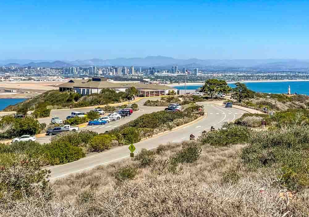
At the end of the road, is Cabrillo National Monument. All visitors are required to pay an entrance fee, and I am able to use my annual National Parks Pass.
Weekdays in the fall, winter, and spring are the best times to visit if avoiding crowds is your goal. There is plenty of parking for a variety of vehicles, including RVs, as well as a pull-up / drop off area for visitors with limited mobility.
Stopping at the Visitor’s Center, with its stunning views over San Diego is worth the drive out, even if there is not time to take in the rest of the park.
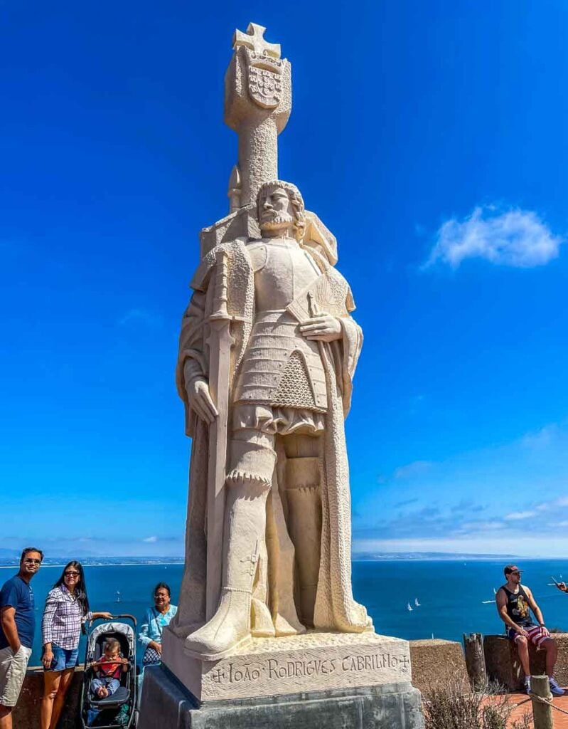
On the point, to the south, or right of the Visitor’s Center, is a statue commemorating the arrival by ship of Juan Rodríguez Cabrillo on September 28, 1542.
The base of the statue is a popular spot for family photos.
He was the first European to explore the coast of California, having sailed north from the colony of New Spain, as Mexico was then named.
A working re-creation of his ship, the San Salvador can be spotted sailing in and out of the bay. Cabrillo stayed in the bay for 6 days, probably anchoring just below.
There was contact between Cabrillo’s crew and the indigenous people of the area, possibly the Kumeyaay.
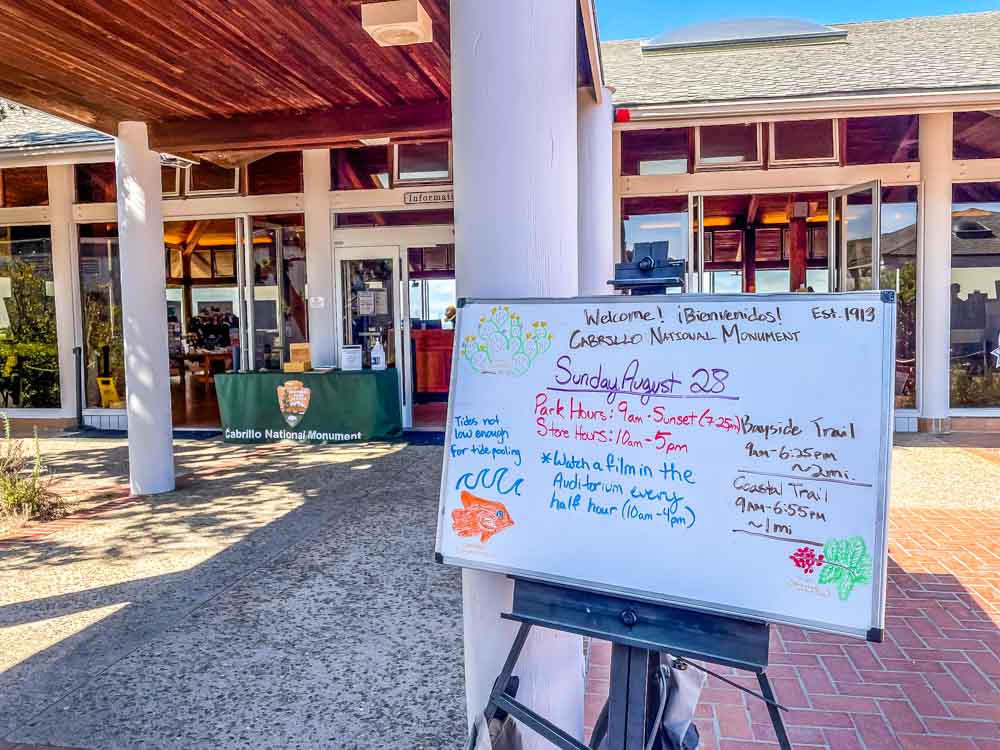
The Visitor’s Center provides not only restrooms, displays sharing the history of the area, and books for purchase, but also houses an auditorium where a brief film is shown every half hour.
There are ranger talks out on the wide viewing platform, and ranger guided walks. These are all included in the price of admission to the Monument, so I try to take in as many of these talks and walks as I can when I am visiting.
The Rangers excel at sharing insights and details I would have missed were I out walking on my own.
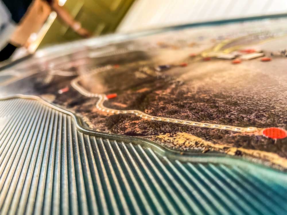
The displays inside are attuned to sharing information with a variety of visitors. For example, there is a touch map that includes topographic details, as well as multilingual signs.
I like checking the topo map with my fingers before I take a trail that is new to me. While it is difficult to get lost on the open trails, I like getting a better sense for the rise, fall, and turns on the map before I set out.
Military History Walk
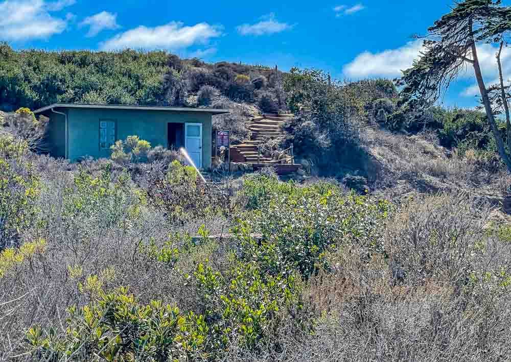
The most accessible trails and walks are along the ridge. There is a paved road and adjoining sidewalk that makes the old lighthouse and the whale watching area accessible for those with small children, or using wheeled transport, like strollers, wheelchairs, or mobility scooters.
The rangers at the Visitor’s Center can also arrange a lift up to the lighthouse if needed.
For those who don’t mind a few timbered steps, there is a military coast watch museum display set up in an old military building.
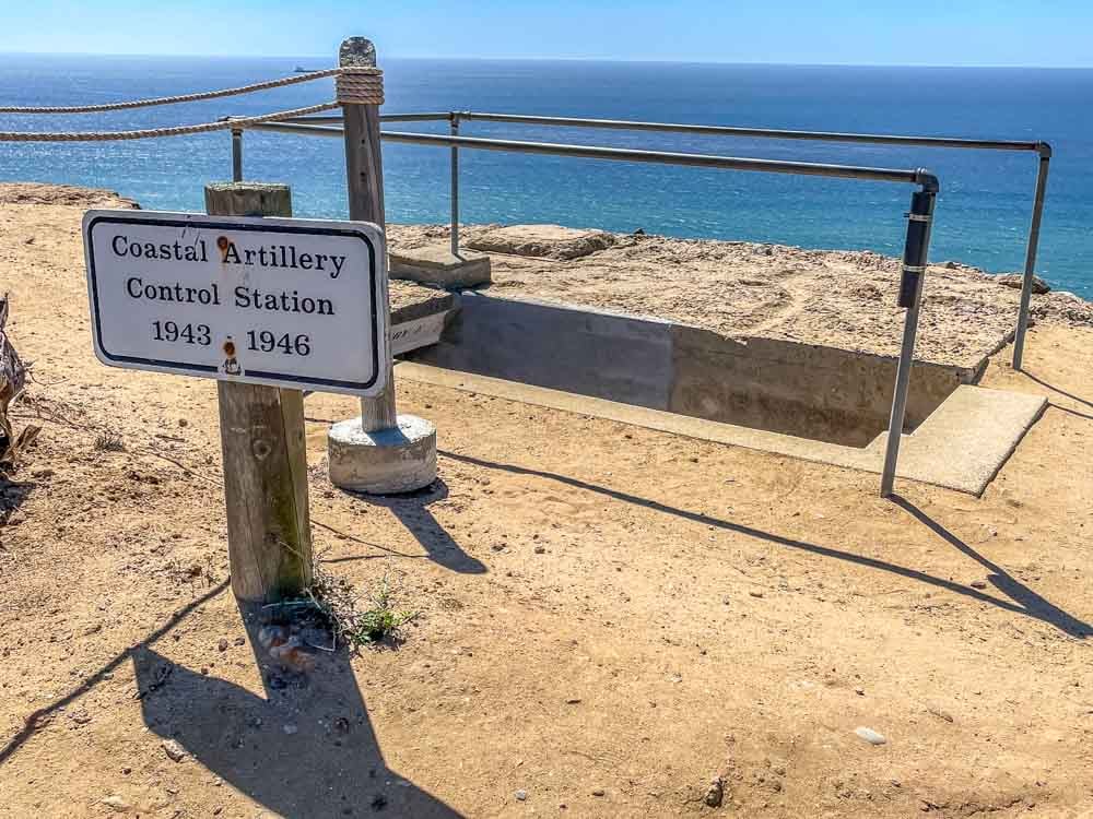
Point Loma has long been used for its strategic vantage point. After checking out the displays, walking up the stairs brings visitors to the remains of lookout areas from World War II.
There are several to be explored along this path, and they are open to walk down into and get a sense of what it must have been like to be stationed here and on watch.
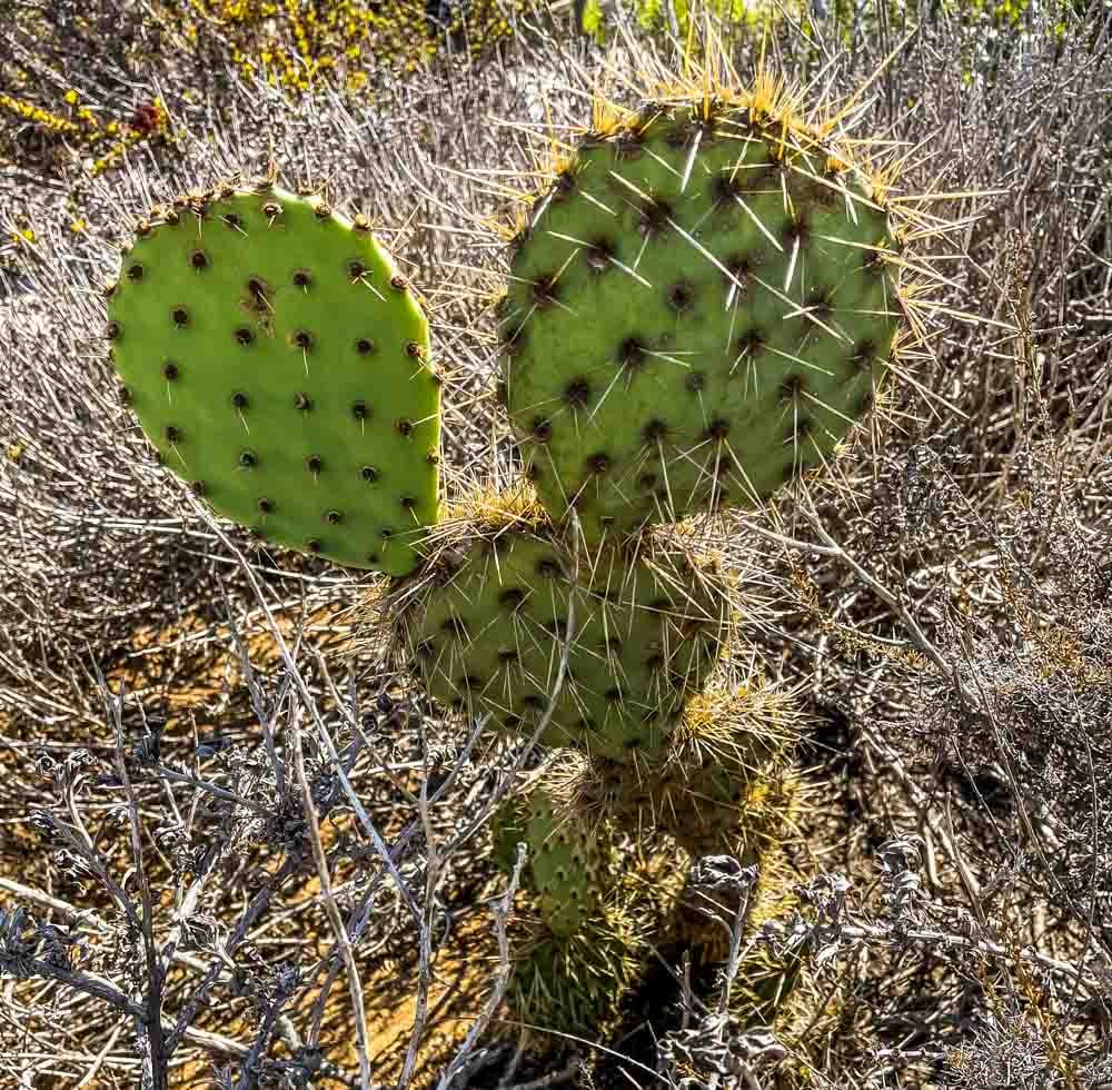
This short trail also is a good spot for seeing the local vegetation, like this prickly pear plant, up close. There were lizards, small birds, and some reptiles in the underbrush that were too quick for me to capture with my iPhone camera. Even so, the small critters are great fun to watch along the way.
Tidepools
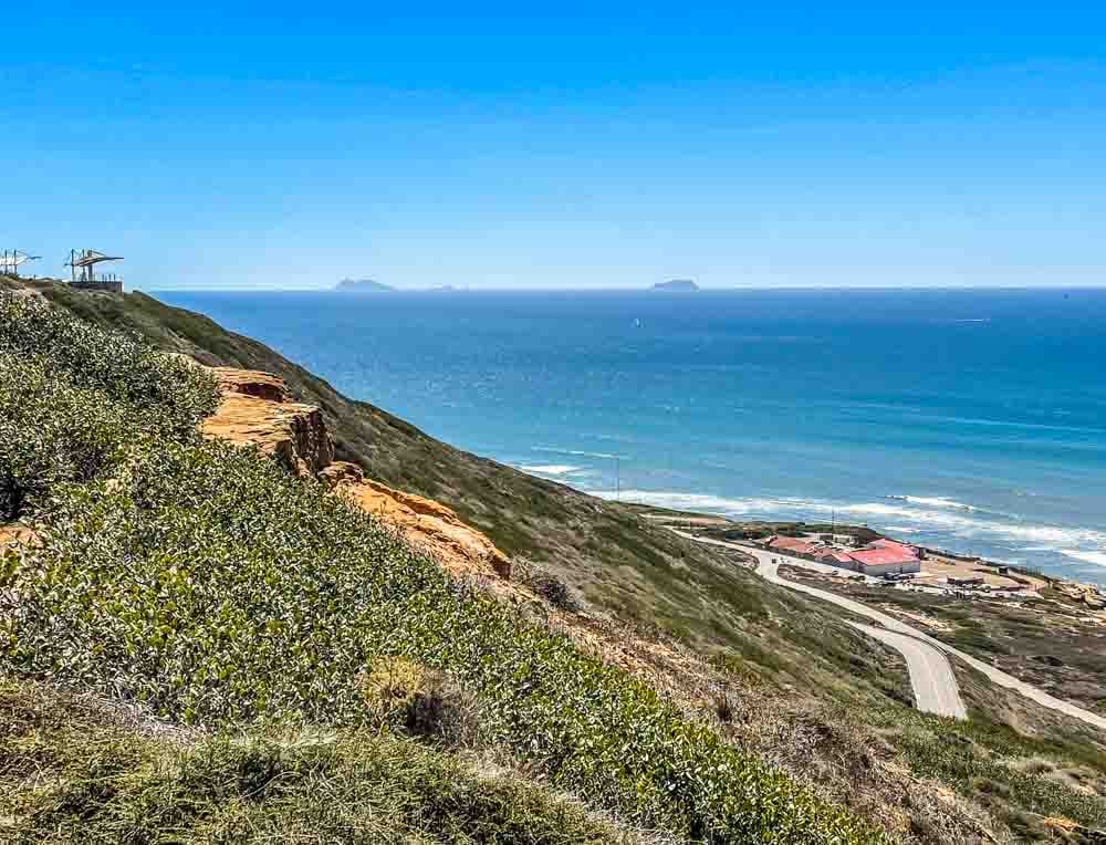
Over 400 feet below are the tidepools, another area to explore. Hardy bike riders like to zip down the two-lane road and then make the steep climb back up. I’d gladly take a bike down if I could only arrange a ride back up!
The current lighthouse is located at the base of the point, and there are several support buildings. It is possible to reserve some of its beautiful rooms for weddings and special gatherings.
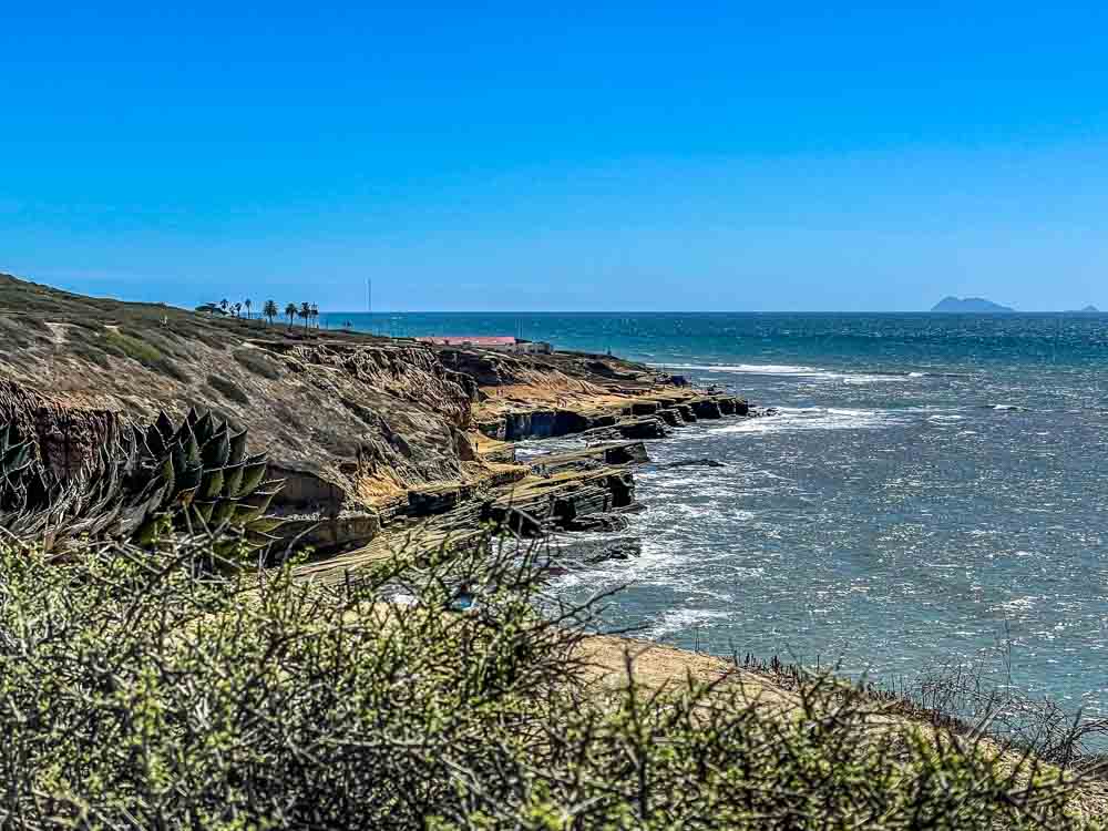
I generally drive down to the tidepools. There are 3 different places to park and walk down to the water.
On clear sunny days it is great spot to hang out and watch the wildlife in the little coves. I also love stormy days at the tidepools because there are hardly any two-legged visitors.
In the solitude, I can feel the enormity of the Pacific Ocean as the swells reach out past the horizon.
Whale Watching Station
The other short trail above on the ridge is paved and runs along the very southern tip of the ridgeline, starting at the old lighthouse.
It is a circle, so I can head to the left or the right, depending on my mood. It goes past two lookouts for spotting whales, and then around to the San Diego Bay side for an unobstructed view of San Diego and down to Tijuana, Mexico.
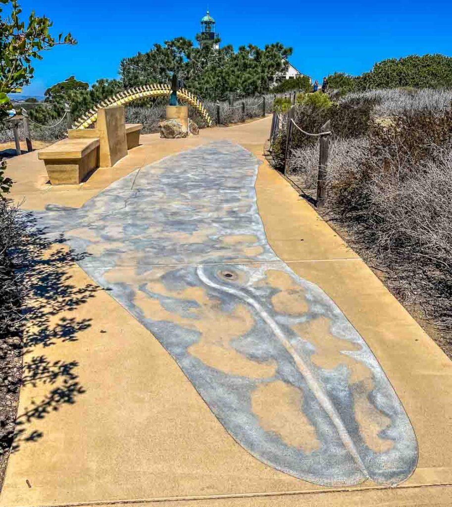
Pacific Gray Whales pass Point Loma as they approach the end of their southward migration, and the best chance to see them is in December, January and February.
Having started south from Arctic and Siberian waters in September, they winter in the lagoons off of Baja California where they give birth to calves, mate, and spend time in the warm waters. They live mostly on the fat stores they built up over the winter when they were feasting on the amphipods that thrive in the cold northern waters.
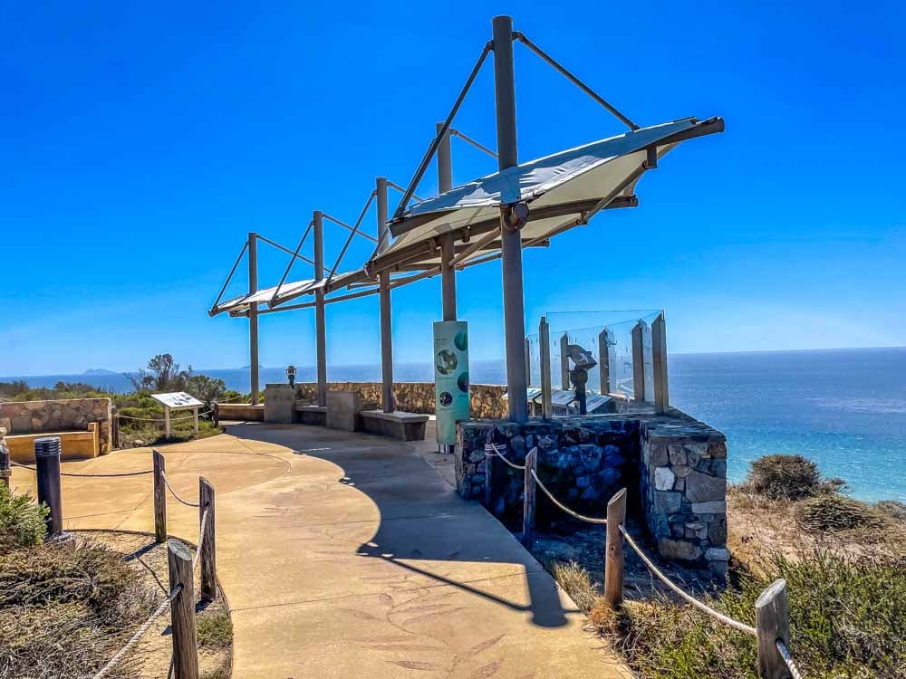
The lookouts face west, toward the Pacific Ocean. They are located high on a cliff face, and the canvas sails provide good cover from the sun.
It is best to bring a little refreshment and binoculars if whale-watching is the goal. The whales pass from north / right to south / left, and the high perch with clear weather and a little patience make it easy to spend hours here.
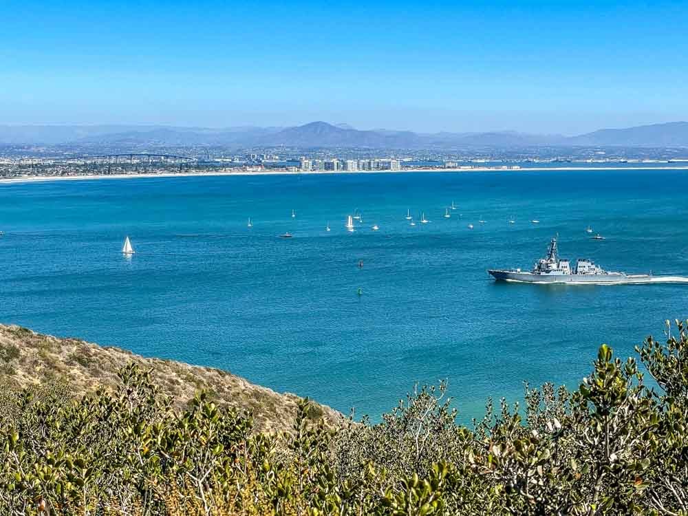
Once I’ve had my fill of whales and Pacific views, I can continue around the loop to the San Diego Bay side to watch the ships sail in and out of the harbor.

